


Courtesy of Grand Teton Lodging Company
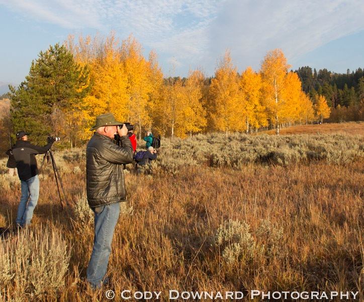
It’s fall, which means it’s that time of year again—leaf peeping season. But before you grab a pumpkin spice latte and hit the road to check out the orange and red colors of fall, the following can make sure you’ll be seeing something other than green leaves. Here are some of the best websites and resources you can use this season to track fall foliage.
Smoky Mountains
Smoky Mountains offers a week-by-week prediction when fall foliage will peak in your county. Using a color-coded scale from “no change” in green to “peak” in bright red, you can simply scroll horizontally through the different weeks to see when your area—or whatever area you want to explore—will be the most colorful. This map doesn’t update weekly or allow user input, so you have to trust that the predictions are accurate. Luckily, the research uses over 32,000 data points and an advanced algorithm for its predictions to ensure accuracy.
Weather.com
As one of the most notoriously reliable weather data sources, Weather.com is an obvious choice. If you go to its Fall Foliage section, you can click on the different regions to see if a specific region is undergoing color changes. It uses color-coded leaves to indicate the current state of foliage transition. Downfalls? It doesn’t let you know what changes are approaching, only what is happening right now, unlike Smoky Mountains. Also, not every area is updated with a leaf, but you can check the surrounding data.
Leaf Peepr App
Yankee Magazine created a pretty neat (and free!) app called Leaf Peepr that not only lets you see what’s going on in your area, but also gives you the option to show off your fall foliage photos to other users. Anyone can upload a photo with a short description that will stay up on the app for five days, so you can see some of the most recent changes in very specific areas with your own eyes. But keep in mind—each region is color-coded based on user reports (some without photos), rather than data. The reports are averaged to determine the region’s color, but if someone submits an inaccurate report, the region could be incorrectly colored. Our recommendation is to only trust the Leaf Peepr reports of regions that have photos.
U.S. Forest Service
You can check the The U.S. Forest Service’s Fall Colors 2014 page and scroll down to “Fall Colors Progression,” where you can see the progress of the entire country at once. You can also click on certain national forests to be redirected to that forest’s specific page for more information. This site, unfortunately, mostly focuses on forests, so if you don’t have a forest nearby, it’s hard to gauge the accuracy of the information. Right now, the map is totally green—despite the fact that Maine is undergoing fall foliage shifts—so be sure to check with other places first before taking an Autumn road trip to see the colors.
The Foliage Network
The Foliage Network is great if you live in the Midwest, the Northeast, or the Southeast. If you live in one of these areas, the Foliage Network seems to be one of the most accurate and specific. It releases a new report every three to four days and rates color changes by percentages. You can also check out its Webcam section to see firsthand. Peruse the site to learn more about the science behind fall foliage when you’re done.
Click here to discover some of the best places to see fall foliage this year.
By Brittany Malooly for PeterGreenberg.com