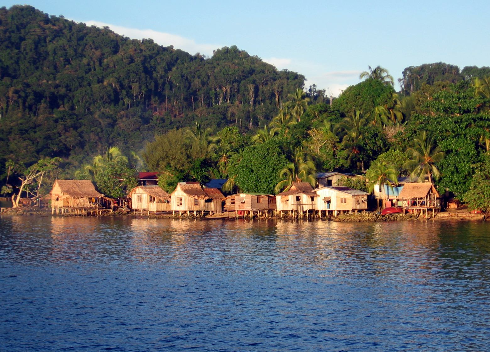
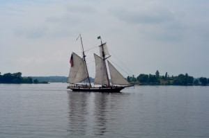
Looking to get away from it all? Then it’s time to find your own island. Cole Ruth found four islands where the year-round population ranges from 0 to 10. These tiny islands off the coast of Michigan, New York, California and Alaska aren’t easy to get to, but are worth the trip. Here’s your complete guide to getting there, finding accommodations, and what to do on your own private island.
There are few places left in America where you can be truly alone. They are so rare, in fact, that finding them and getting there can seem daunting. But those who persevere and find these oases from modern life know that they make for the greatest escapes. The rewards –freedom and space to wander and think – are well worth the effort. Here are a few dots of land in this country where you can be truly, or very nearly, alone.
North and South Manitou Islands, Michigan
Population: 0
Size: Both islands are approximately 22 square miles
Around the turn of the 20th century, the Newhall family built a collection of summer homes on North Manitou. In 1908 they circulated an advertisement. It read: “There is an island up in Lake Michigan that may appeal to you to spend a vacation. It’s a quiet place, no crowds, no hotel, and almost no modern improvements. There are many things wanting, which many people might expect – and might want – no boulevards, no merry-go-rounds, no automobiles, not even a golf course worthy the name.”
The experience on the Manitou Islands is the same today. In fact, there are even fewer modern conveniences than there were a century ago. When the islands were acquired by the park service in the late 1970s, they became a living illustration of what happens when nature takes back the land.
Getting There
Unless you have your own watercraft, the ferry from Leland is your only option. The nearest commercial airport is in Traverse City, about a half hour drive over the Leelanau Peninsula.
Grab your vintage Hemingway paperback and head for the land that’s shaped like a mitten. Although Sleeping Bear Dunes National Lakeshore has been getting attention lately, on the ferry trip to the Manitou Islands, you can still be the only one who isn’t just going along for the ride. And once you take in the sweeping vistas, bound across the sand dunes and swim in the crystal clear waters of Lake Michigan, you won’t want to leave.
Where to Stay
Tent camping is the only option. South Manitou Island offers fixed campsites with water pumps and pit toilets. Camping on North Manitou is the full back-to-nature experience. Permits can be obtained via the park web site or on the dock in Leland. On both islands, no-impact camping is the rule: all gear and supplies must be packed in and out.
What to Do
Day hikes around the islands will take you past crumbling homesteads sandwiched between giant sand dunes and abandoned farm buildings in the midst of old growth forests. Munch on wild blackberries while you hunt for abandoned wagon wheel parts in the grass. Stumble upon a cemetery for early model cars. Lay on your back and watch bald eagles fly overhead.
The land isn’t the only place that nature is re-staking her claim. The water surrounding the islands is littered with the remains of at least 50 shipwrecks. Over time the sandy bottom of the lake has shifted, sometimes hiding, sometimes revealing these treasures. Several wrecks on South Manitou Island are so close to shore and in such shallow water that they can be explored by snorkeling. Others are only for advanced divers. (Divers who don’t have their own gear can make a stop at Scuba North in Traverse City.)
The Channel Islands National Park, California
(includes Anacapa, San Miguel, Santa Rosa, Santa Cruz and Santa Barbara)
Population: 7
Size: 195.34 total square miles
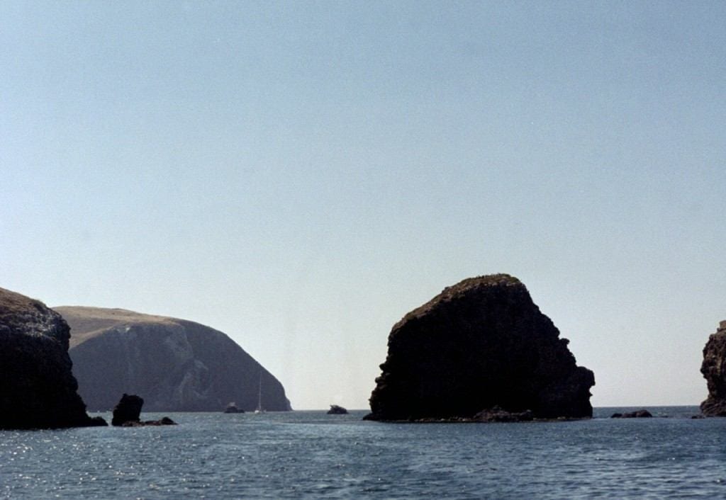 If you want to know what California will look like once it falls into the ocean, look to the Channel Islands. One of the least visited of all of America’s national parks, the Channel Islands have rare, rugged beauty. The earliest evidence of humans in North America was found on San Miguel Island, as well as the fossils of pygmy mammoths. In the last two hundred years, the islands have been used by hunters, fishermen, smugglers, farmers and the military. Today, only park rangers live here year-round. When you hike over these hills, explore the coves and tide pools, and spot birds or wildflowers that exist nowhere else on earth – it makes hard work of getting here worthwhile.
Getting There
Since the Island Packers’ boats are always full, make sure to book your transportation first. Don’t be put off by the crows, most visitors don’t say behind.
 Where to Stay
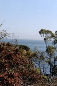
Campsites are available on all of the islands. Most of the campgrounds are exposed to high winds and, except for the views, are not all that charming. Scorpion Ranch Campground on Santa Cruz is close to the dock, has pit toilets and running water and that rare commodity on the islands: shade. Backcountry camping may be the best way to be by your lonesome, but as the ranger will tell you, this is only for the advanced and experienced.
Camping is the only way to stay overnight unless you come by private boat or boat charter. Several companies provide this service: Channel Islands Charter, the Santa Barbara Sailing Center, and Channel Islands Sportfishing. With a charter you sleep in a berth and prepare your meals in a galley. (Or have them prepared for you.) Best of all, these companies haul things like kayaks and snorkeling equipment for you. You can wake up each day in the shadow of a new island and be swimming before the first boatful of tourists arrives.
What to Do
From the trail high above Anacapa, you’ll walk past thousands of nesting birds as you make your way to the 360-degree view on Summit Peak. If you plan on kayaking, a quick ride through the 40-foot-high Arch Rock on the island’s south shore is not to be missed.
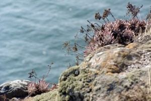 Kayaking is also the best way to see the Painted Cave and other sea caves on Santa Cruz. You could spend an entire day looking down at the tide pools on Santa Cruz and East Anacapa and not get bored. Sea lions and seals are also plentiful here.
Few dive spots in California compare with the clear waters around the islands, their kelp forests swimming with Moray Eel, octopus, Girabaldi and bat rays. Unless you are traveling by chartered boat, Scorpion Beach on Santa Cruz and Landing Cove on Anacapa are your best bets for jumping in.
Blue whales, grays and humpbacks all spend time in the waters around the islands. While they can be seen from shore, a trip with Island Packers is your best bet for seeing them up close. For sunset? There’s a reason it’s called Inspiration Point.
Grindstone Island, New York (in the Thousand Islands)
Population: 8 (300-700 in the summer)
Size: 8 square miles
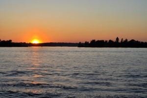 Most of the land in the Thousand Islands region is privately owned, so if you’re looking to have an island to yourself, there are a handful of private homes for rent on their own private islands. Otherwise, there’s Canoe-Picnic Point State Park on the island of Grindstone.
Skeptics will say that you don’t exactly have this island to yourself, but it’s a far cry from crowded. During the week or at the ends of the season, you can go for days without seeing a soul.
You can only get to the island by watercraft. Rent a boat from the Clayton Marina or Bayside Marina. Or from the State Park Marina on Wellesley Island. Kayaks are available for rent in Clayton, at T.I. Adventures. If you bring your form of water transport, you can park and use the boat launch at Wellesley State Park.
Where to Stay
The Canoe-Picnic Point Campground has five cabins and twenty camping sites. The cabins are spare, but clean.
The Island of Grindstone was once a thriving community with its own granite quarry and cheese factory, but those industries have long-since closed. In 1989, the oldest one room schoolhouse in operation closed its doors. For most of the year, Grindstone feels like a place that time forgot.
What to Do
A day on the island is best spent by walking the trails through old growth forests, drinking in the smell of milkweed and 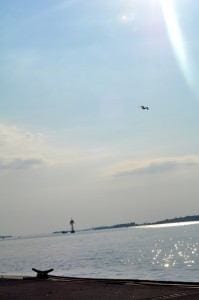 listening to the migratory songbirds. There are two miles of shoreline between Canoe Point and Picnic Point and 70+ acres of nature reserve between the parks and the inhabited area of the island. This land has been set aside by the Thousand Island Land Trust, which provides this guide to the area.
Keep your eyes open and you may come across one of the islands infamous random gravesites.
Across from the park is Eel Bay, a swimming spot valued by locals for its shallow (and therefore warmer) water. Bring an inflatable raft and spend the day adrift.
The Saint Lawrence is an angler’s dream, packed with bass, bluegill and walleye. Catch your meal and eat it outdoors in the style of traditional “shore dinners” at Picnic Point. Then hike up the hill behind Canoe Point for a panoramic view of the sunset.
If you start to get lonely on a Saturday night, you may be lucky enough to stumble upon a square dance at Dodge Hall. And if you’ve never been to the region, be sure to stop in the town of Clayton before you leave. After some time in isolation, a meal at Bella’s will welcome you back to civilization.
Hinchinbrook Island, Alaska
Population: 5
Size: 171.98 square miles
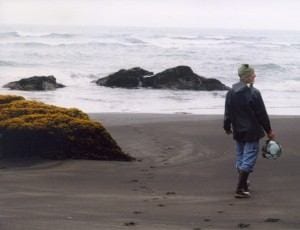 If Alaska is the last frontier, Hinchinbrook is the edge of that frontier. The island stands guard at the entrance to Prince William Sound, the first barrier to the northward flowing Aleutian current. The current brings warmer water from the south that fights with glacial melt to bring late summer sea temperatures to the lower 60s. Many a storm has caused vessels to run aground here. But while these currents can bring destruction, they also carry glass fishing floats all the way from Japan – making Hinchinbrook’s shores a treasure hunters’ paradise.
Getting There
Would it still be pristine if it were easy to get to? For those who don’t live in Alaska, the journey to Hinchinbrook requires a flight to Anchorage and a puddle jumper to Cordova. But at least the four-seater beach plane to the island drops you right in front of your lodging. (Cordova Air and Alaska Wilderness Air both offer air taxis to the island.)
Where to Stay
Until recently, there’s been only one place to stay: Hook Point Cabin. It has no electricity; no running water. It’s heated by a woodstove. But at $35 a night, this is one vacation you can afford to extend. A family is currently renovating an old homestead on the island, so it may be worth investigating The Lodge at Hinchinbrook, which has potable water, hot showers, and on-demand electricity.
What to Do
A day spent beachcombing will have you clambering over shipwrecks, sifting through heaps of old fishing net looking for floats and watching eagles soar against the backdrop of glacier-capped mountains.
 Bring your tackle. Novices can take a lesson in Cordova before heading off. If you don’t manage to hook a keeper, you won’t go hungry – there are plenty of cans of baked beans in the larder. But there’s no substitute for a freshly caught salmon wrapped in tin foil shoved into the coals of the woodstove. Locals boast about the razor clams, which can be dug up at low tide. In season, wild blueberries and salmon berries, unique to arctic regions, make a memorable dessert.
The reason to come this far is two-fold: to be alone – and to be alone in the wild. The island is full of bird rookeries and home to deer, marmots, otter, duck and geese. Sea lions and sometimes killer whales can be seen from the beach. There’s nothing like stepping out of your cozy cabin and finding a bear print the size of a dinner plate to make you aware that you are nature’s guest: you are here on her terms.
With an estimated brown bear population of 100, Hinchinbrook’s brown bear population out-numbers humans 20 to 1. The island became the birthplace of an urban legend ten years ago when a hunter killed a 1,000+ lb. grizzly. Though spotting prints on the beach is not unusual, many visitors will never see a bear. There is plenty of food and the stalking of humans is rare, but play it safe: read up on bear safety.
Planning to hunt or fish? Make sure to get the proper license. Oddly, this beach is a local surf spot, but you will need to make special arrangements with the pilot if you plan to bring your board.
Caveat: Good foul weather gear is required. It rains in Cordova an average of 125 days a year.
For more island adventures, check out:
- 6 Off-Season Island Travel Ideas: Beat the Crowds & Save
- Slideshow: Secret Island Hopping
- Antarctic Island Travel
- Turks & Caicos: Complete Island Adventure
Text and photos by Cole Ruth for PeterGreenberg.com Ruth is a writer, sailor and chef. She has traveled all over the world, often on boats with good food. She currently makes her home in Los Angeles and blogs about her adventures on her website, coleruth.com.


